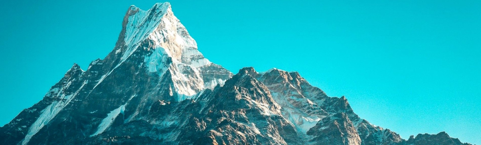
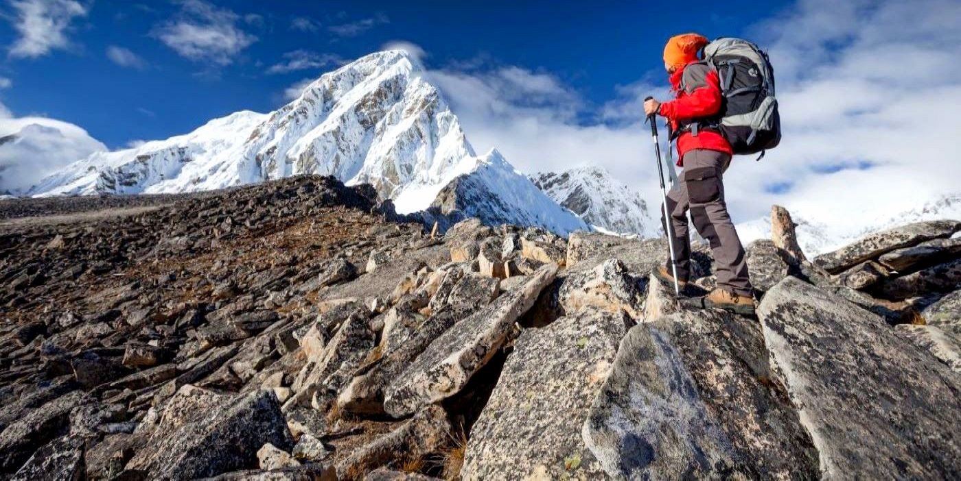
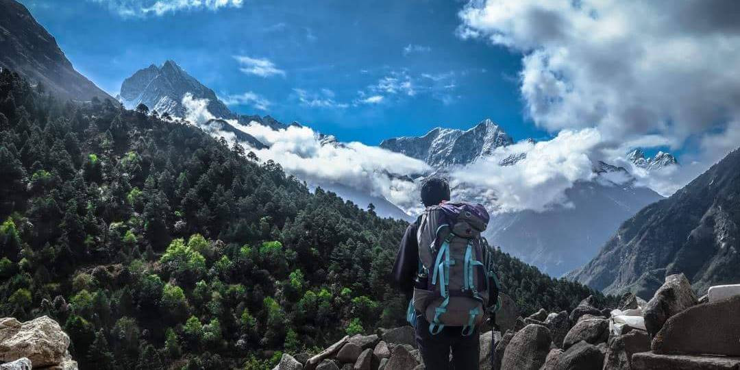
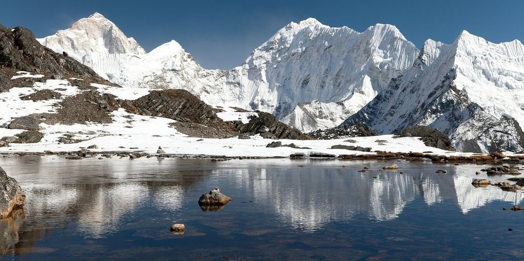
Everest Base Camp
Everest Base Camp Trek (EBC): There's a good reason why this journey is arguably the most well-known in Nepal. To reach Everest base camp's moraines, you must hike for a weeks through lush foothills, past Buddhist monasteries and gumba through stone-walled, slate-roofed towns, and right into the heart of the Himalayas.
For those travelers who are willing to experiece the luxury in Himalayas, the route offers the excellent accommodation and lodges. The downside of EBC trek's popularity is inevitable presence of large crowd in peak season. If you're searching for peace and seclusion, plan your trip to Everest Base Camp in low season or ahead of the trek season in Nepal. After week long trek in the Everest Region, you can take a Helicopter flight from Kalapathar/ Gorakshhep to Kathmandu to avoid the same route trekking and also save your time.
Difficulty Level: Moderate to hard
Trek duration: 12 days+ (for the round trip)
Max. elevation: 5,545m
Accommodation: Trekking lodges and guesthouse/ teahouse
Start/end point: Lukla/ Lukla Airport
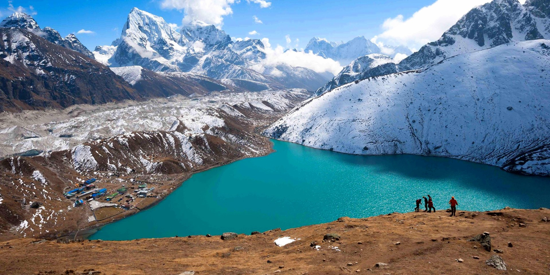
Gokyo Lakes and Gokyo Ri trek
This particular expedition, which takes you to a series of stunning glacial blue lakes, is widely regarded as one of the finest trekking route in Nepal. It offers equally awe-inspiring scenery as the famous Everest Base Bamp trek but with significantly fewer crowds. However, it's important to be mindful of potential altitude-related challenges. It is advisable to take as many rest days as possible and proceed with caution.
After reaching Namche Bazaar, which is only a half-day walk away, the journey continues along the well-trodden trail to Everest Base Camp, reaching Sanasa. At this point, trekkers departing from Gokyo veer up the Dudh Kosi valley, while the majority of people continue their journey towards Base Camp of Mighty Mount Everest.
Difficulty Level: Hard
Trek duration: 11-13 days
Max. elevation: 5,360m
Accommodation: Trekking lodges/ Tea Houses
Start/end point: Lukla/ Lukla Airport
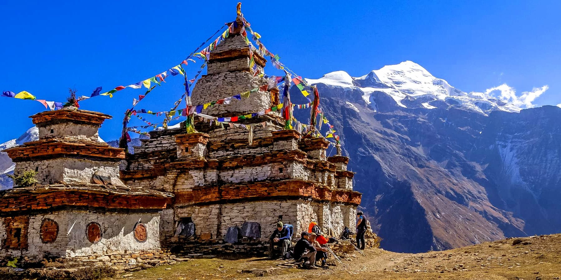
Nar-Phu Valley trek (Annapurna region)
Most hikers on the Annapurna Circuit passing through Koto won't be aware that a trail off to the east leads to a mysterious, secret realm. Before 2002, the Nar and Phu valleys were off-limits to tourists, but when they were, the first trekkers found a landscape of slender gorges, mountains rising 7 km above sea level, ancient stone settlements festooned with prayer flags, and a distinctive local culture based on yak herding and trade with neighboring Tibet.
Difficulty Level: Moderate-difficult
Trek duration: 7 to 9 days
Max. elevation: 5,320m
Accommodation: Camping and basic trekking lodges
Start/end point: Koto/Ngawal
Khopra Ridge Trek (Annapurna region)
Khopra Trek, also known as the Khopra Danda trek, is far from the typical Annapurna region trekking paths and offers a quiet, laid-back journey to towering vistas on Annapurna South's flanks. This lesser-known trek offers a unique and rewarding experience for nature enthusiasts and avid hikers.
The trails travel through quaint communities with modest private and communal lodges as well as numerous lovely woodlands. Khopra Ridge is an amazing dome, and the exposed route that runs along it gives the impression that it is much higher than it is (especially when covered in snow). The highlight of the trek is reaching the Khopra Ridge, where you'll be rewarded with awe-inspiring vistas of towering mountains, Dhaulagiri I (8,167m). The 10-hour day trek to the high-altitude Khayer Lake from the ridge is quite difficult and exhausting (4,600m) but rewarding for lifetime.
The Khopra Ridge Trek is a hidden gem, offering a perfect blend of natural beauty, cultural encounters, and tranquility for those seeking a unique trekking experience in Nepal.
.jpg)
Difficulty Level: Moderate
Trek duration: 5 to 6 days
Max. elevation: 3,660m
Accommodation: Camping and limited trekking lodges
Start/end point: Ghorepani/Tadapani
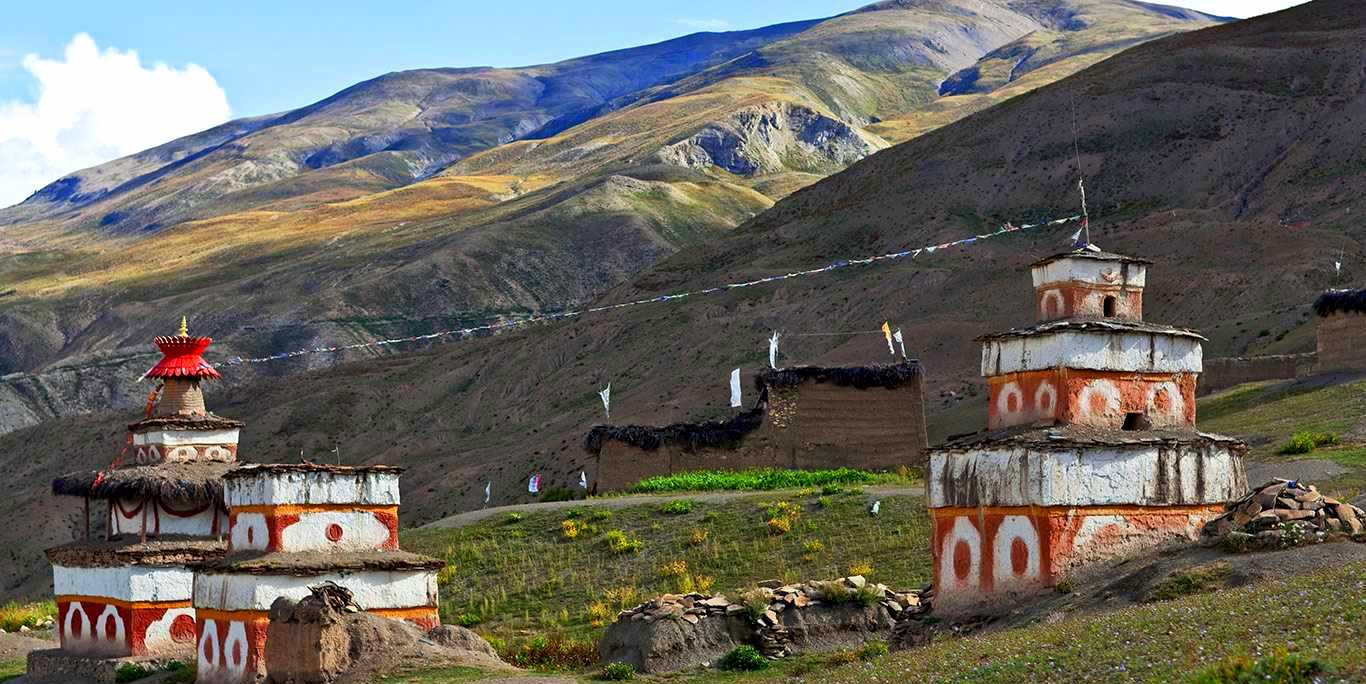
Upper Mustang Loop (Mustang region)
The 12-day Upper Mustang loop is a more challenging but longer variation of the conventional Upper Mustang trip. The typical route up the western side of the Kali Gandaki is followed for the first portion of the journey to Lo Manthang. On the way back, though, you take a considerably more adventurous route along the eastern bank of the Kali Gandaki. On this side of the river, there is a lot less development and no road building. There are fewer trekkers and more traditional villages. In comparison to the western path, the scenery is also more impressive; however, the walking is more difficult, fresh water is more difficult to come by, and communities are farther apart.
Difficulty Level: Moderate to difficult
Trek duration: 12 days
Max. elevation: 4,380m
Accommodation: Homestays
Start/end point: Kagbeni/Kagbeni or Muktinath
Ganesh Himal trek (Langtang region)
This climbs up through pine forests home to red pandas to the Hindu holy lakes of Gosainkund is the most popular add-on to a Langtang Valley trek and a beautiful short trek in and of itself. Although you don't directly encounter the high mountains, you do get spectacular vistas of the Langtang and Ganesh ranges and cross the treacherous, frequently snow-covered Laurebina La. (4,610m).
There are various approaches to Gosainkund, but it is better to do the Langtang Valley trip first to acclimate. Cut across to Gosainkund from a location near Doman's teahouses, and then descend to Kathmandu along the Helambu Circuit. Though there is a significant elevation gain and a high incidence of altitude sickness, some people travel directly from Dhunche to Gosainkund. It is a long uphill slog from Helambu to Gosainkund that also begs for altitude issues.
.jpg)
Difficulty Level: Moderate
Trek duration: 14-15 days
Max. elevation: 3,842m
Accommodation: Camping only
Start/end point: Syabrubesi/Tripura Sundari
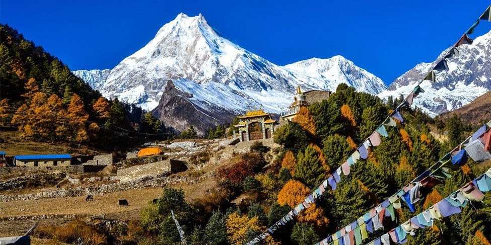
Manaslu Circuit (Manaslu region)
The routes surrounding the formidable Manaslu (8,156m), the eighth-highest mountain in the world, offer it all. Rice fields and steamy lowland lowlands give way to ice-covered passes that are home to leopards and much more.
There are monasteries full of jewels and magical valleys brimming with Tibetan culture. There are thrilling day-long side treks to glaciers, base camps, and undiscovered gompas in addition to the exhilarating walking with comparatively few other trekkers. Although the neighboring Tsum Valley opened to international trekkers even later than the Manaslu region, it was immediately popular with those looking for a difficult and undeveloped hiking destination.
Overall, this is one of Nepal's most rewarding trekking regions, as anyone who has hiked under Manaslu would likely attest. While there are trekking lodges in Manaslu, they are currently far more basic than those on the Everest and Annapurna treks. With frequent public transportation from Kathmandu and Pokhara, reaching the trailheads in this region is simple and affordable.
Difficulty: Challenging
Trek duration: 14-18 Days (It’s best to allow 18 days to enjoy the many side trips and to acclimatize properly)
Max. elevation: 5,160M
Accommodation: Trekking lodges
Start/end point: Arughat or Soti Khola/Dharapani or Besi Sahar
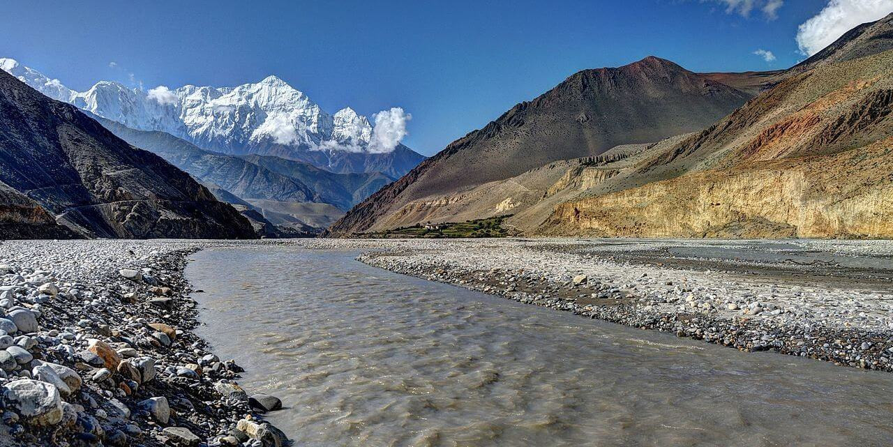
Dolpo to Jomsom or Upper Mustang (Dolpo region)
The epic Dolpo to Jomsom or Upper Mustang trip lasts three to four weeks. From the Juphal airport, head north to Phoksundo Lake (you can also go through Do Tarap), over the Sehu La (5,160m), to Shey Gompa, and then east, up and over several significant 5,000m-plus passes, across the barren high-altitude desert. The only other people you'll encounter are the sporadic flock of herders and traders returning from Tibet with yak caravans.
Difficulty Level: Strenuous
Trek duration: 21-30 days
Max. elevation: 5,550m
Accommodation: Camping
Start/end point: Juphal/Jomsom
Makalu Base Camp (Makalu region)
To reach Makalu base camp, there is only one accepted path, and it is a straightforward there and return over the same trail. However, for the first and last few days of this walk, there are only permanent settlements. The only other people you'll typically encounter are yak herders and their herds. Camping amid beautiful spring flower fields far from other people and waking up to sweeping mountain views is one of the joys of this walk.
After passing through the villages, the path climbs steeply through the woods, crosses the 4,127-meter-high Shipton Pass (named for Eric Shipton, who followed this path with Sir Edmund Hillary during the 1952 Everest reconnaissance expedition), and then continues through the Barun Valley while passing waterfalls and rapids. The valley eventually opens out and you reach base camp after navigating scree fields and landslide debris.
You'll be in awe of the view from base camp, but you can get even better views of Makalu and side views of Lhotse, Lhotse Sar, and Everest by ascending to the neighboring ridge on Peak 3. Most likely, there will be just you.
Difficulty Level: Difficult. Lots of steep up and down and the fast elevation gain means the risk of altitude sickness is high
Trek duration: 14 days
Max. elevation: 4,870m
Accommodation: Camping; very basic herders’ tea houses.
Start/end point: Num
FAQs for The most Iconic Treks in Nepal: You Must Experience at Least Once in Your Lifetime
Q: What is the best time to go trekking in Nepal?
A: The optimal trekking seasons in Nepal are during the spring (March to May) and autumn (September to November). These periods feature clear skies, stable weather, and comfortable temperatures.
Q: Do I need a guide to trek in Nepal?
A: While it's possible to trek independently, hiring a guide is advisable, particularly for beginners or those embarking on challenging treks. Guides offer invaluable insights, ensure safety, and provide emergency assistance.
Q: Are permits required for trekking in Nepal?
A: Yes, most treks require permits, such as the TIMS card and specific area permits (e.g., ACAP for Annapurna or Sagarmatha National Park Permit for Everest region).
Q: How physically fit do I need to be to trek in Nepal?
A: Fitness requirements vary by trek. Easier treks demand basic fitness, while strenuous treks like Everest Base Camp or Annapurna Circuit necessitate good physical condition and some trekking experience.
Q: What should I pack for a trek in Nepal?
A: Essential items include layered clothing, trekking boots, a sleeping bag, personal medications, water purification tools, and toiletries. Also, remember sun protection and a first-aid kit.
Q: How do I acclimatize properly during high-altitude treks?
A: To acclimatize safely, ascend gradually, stay hydrated, avoid alcohol, include acclimatization days in your plan, and rest as needed.
Q: What are the accommodation options on the treks?
A: Accommodations range from basic teahouses, offering Nepali cuisine, to luxury lodges with extensive amenities, available on popular routes.
Q: Can I trek in Nepal if I am a solo traveler?
A: Absolutely, Nepal is welcoming to solo trekkers. Joining a group or hiring a guide can enhance your experience and safety.
Q: What are the main risks of trekking in Nepal?
A: Risks include altitude sickness, physical injuries, and unpredictable weather. Adequate preparation and adherence to safety measures can mitigate these risks.
Q: How can I minimize my environmental impact while trekking?
A: Follow “Leave No Trace” practices, use biodegradable products, respect wildlife, stay on trails, and support eco-friendly services to reduce environmental impact.
For Nepal Tour and Trek packages, please go through the link here
If you are looking for different kinds of Nepal Packages, feel free to contact us.